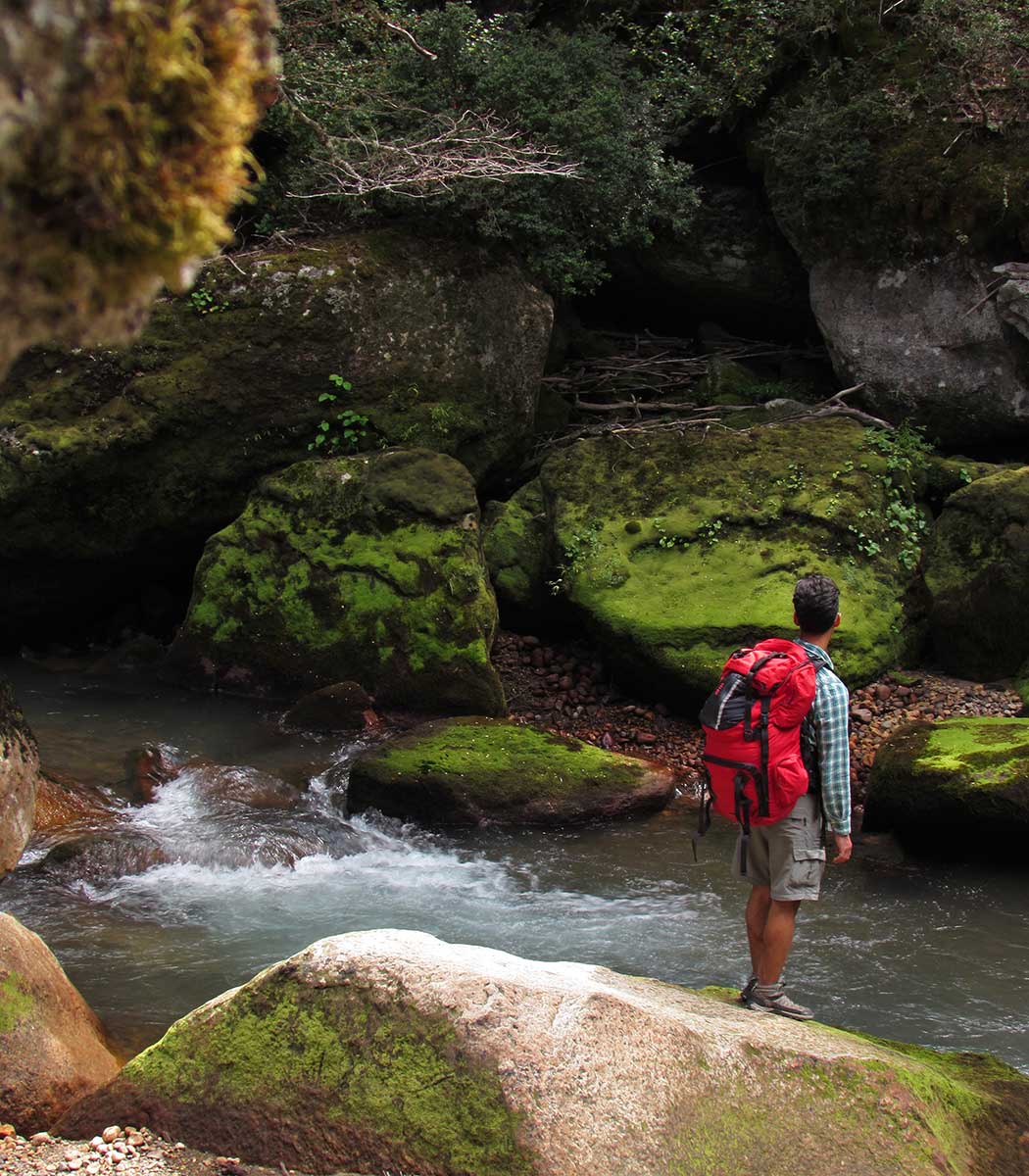
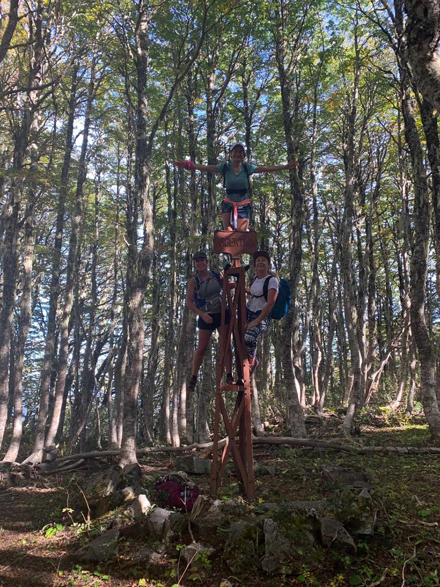
These are some of the mountain trails that can be visited in the Puerto Blest area. Its difficulty is higher than the self-guided trails and depending on your experience on trekking and / or the season of the year in which you do it, it may be necessary to be accompanied by a qualified mountain guide.
These are some of the mountain trails that can be visited in the Puerto Blest area. Its difficulty is higher than the self-guided trails and depending on your experience on trekking and / or the season of the year in which you do it, it may be necessary to be accompanied by a qualified mountain guide.
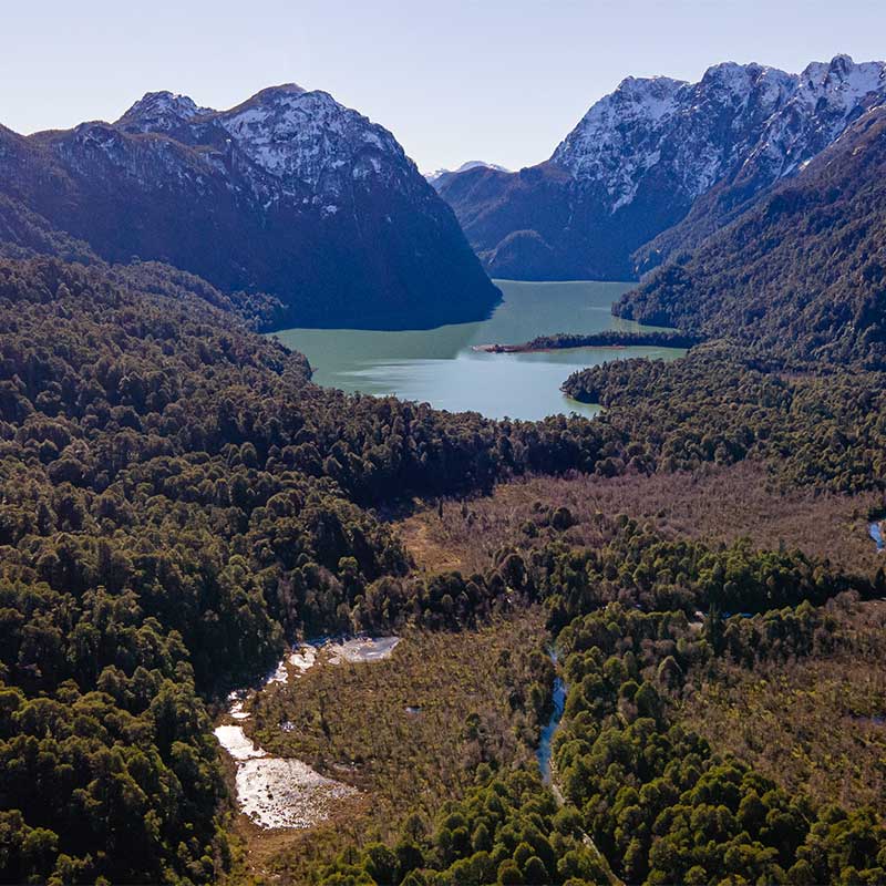
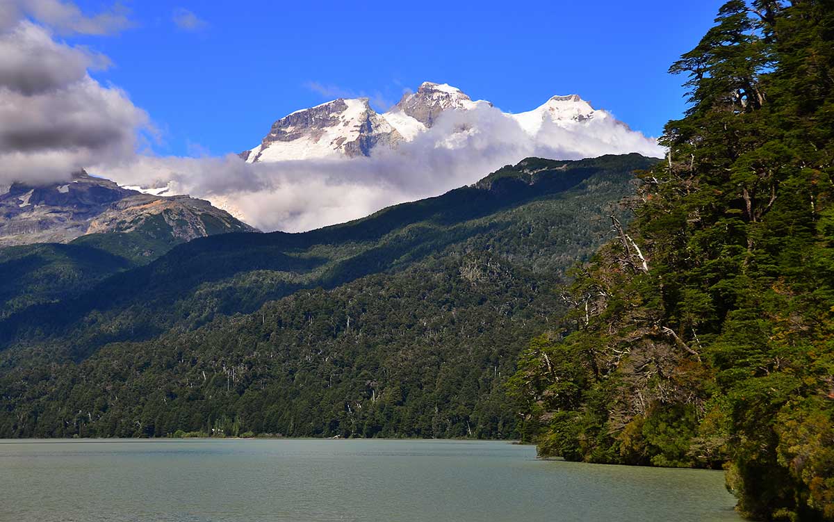
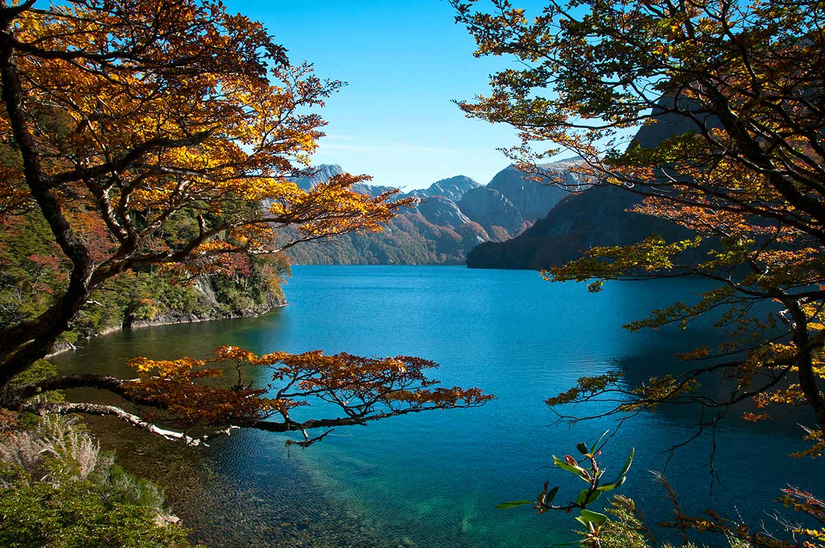
PASO DE LAS NUBES or CLOUDS PASS
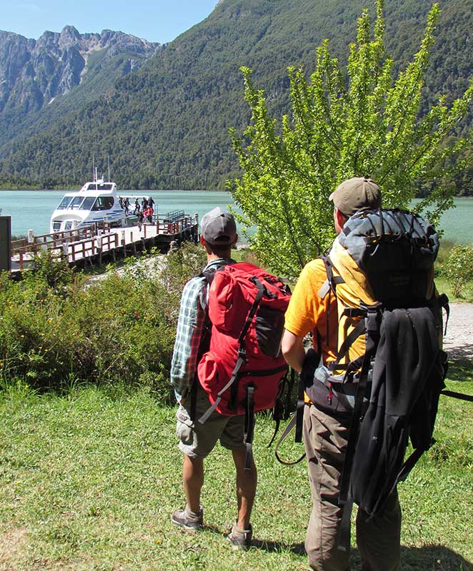
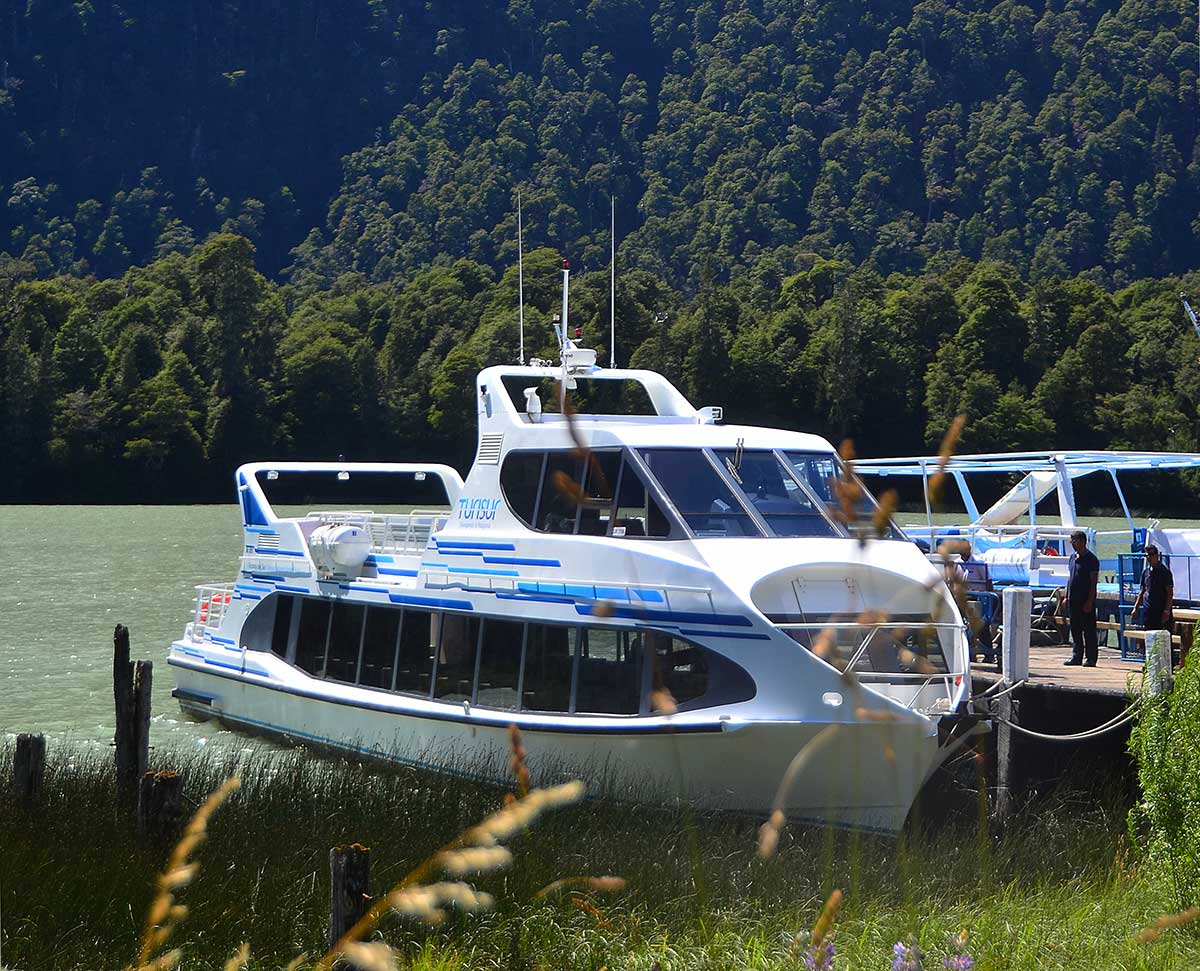
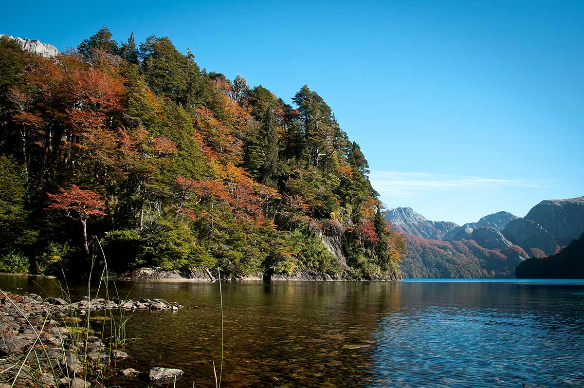
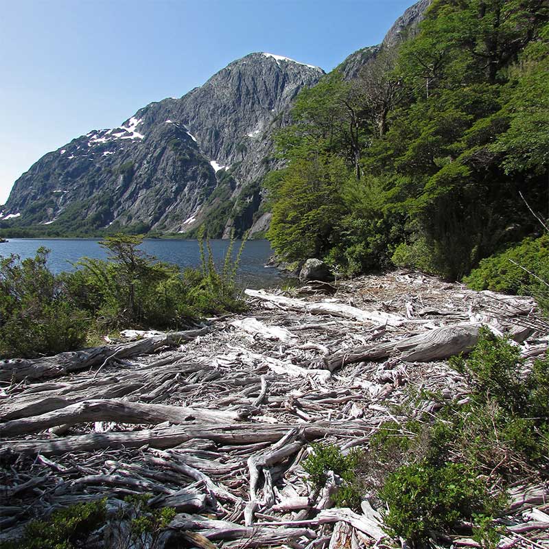
It is one of the most traditional and attractive routes in the Nahuel Huapi National Park, which runs through imposing and diverse views of glaciers, rivers and lakes. It connect Pampa Linda, at the base of the Tronador volcano, with Puerto Frías. It is usually walked in two days. Departing from Pampa Linda, the first day you spend the night at the Agostino Rocca Refuge (a model mountain refuge with modern energy and sanitation systems), continuing the next day to Puerto Frías. In Puerto Frías you will take the catamaran that connects Puerto Frías with Puerto Alegre, sailing Frías Lake, and then travel 3 km by bus that separates Puerto Alegre from the hotel.
In the Nahuel Huapi National Park, due to fire control policies, it is only allowed to camp in Pampa Linda or in the Agostino Rocca Refuge. Camping are not allowed along the way, in Puerto Frías, or in Puerto Blest.
Pampa Linda – Refugio Agostino Rocca

Medium Difficulty
November – April
High (May – October)
High (May – October)

DIstance
14 km.

Unevenness
600 m.

March Time
5 – 6 hs.
(estimado en verano)
(estimado en verano)

How to get

The Weather
Refugio Agostino Rocca – Lago Frías
Medium Difficulty
November – April
High (May – October)
High (May – October)
Distance
12 km.
Unevenness
680 m.
March Time
5 – 6 hours. to Lake Frías.
(estimated in summer)
(estimated in summer)
How to get
The Weather
RAULIES TRAIL
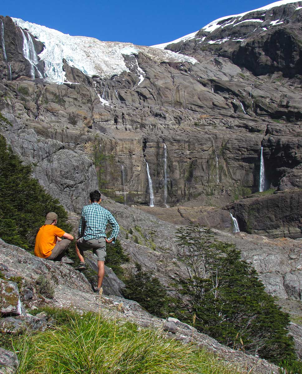
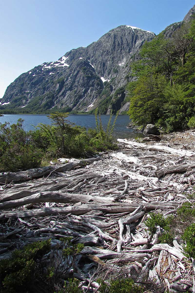
It has 13 kilometers between Puerto Frías and Puerto Blest. It ascends to 1,340 meters of altitude. It includes the visit to the historical landmark VIII 13, and has beautiful views of the Tronador, the Pangue, Los Clavos and Vadeo lagoons; a beautiful valley to the west, Frías Lake, Los Clavos stream and a millenary larch forest. In the highest part of the trail, where the forest is open, it is important to stay constantly on the way, looking for the references on the marked trees.

Difficulty High
November – April
Very High (May – October)
Distance
13 km.
(Pto. Frias – Pto. Blest)
(Pto. Frias – Pto. Blest)
Unevenness
565 m.
March Time
5 – 6 hs.
How to get
The Weather
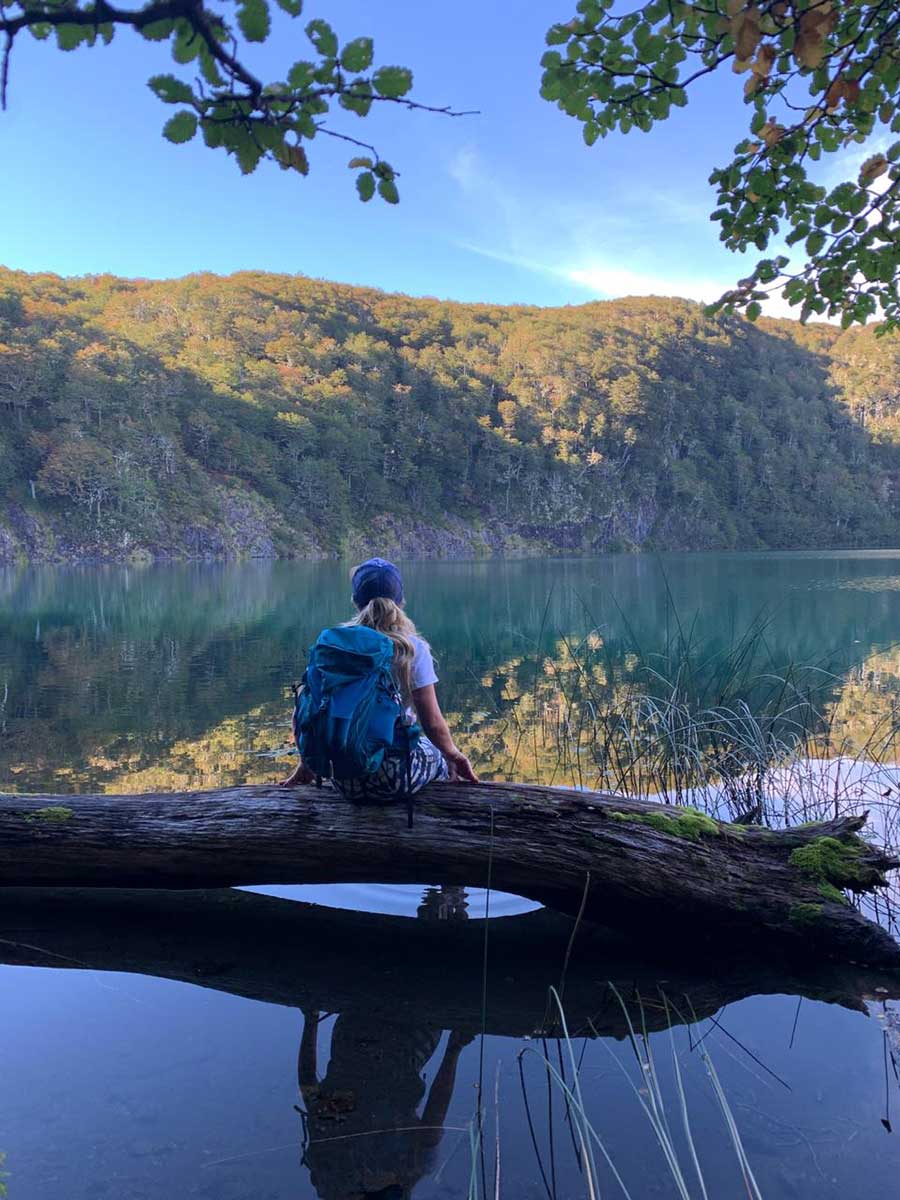
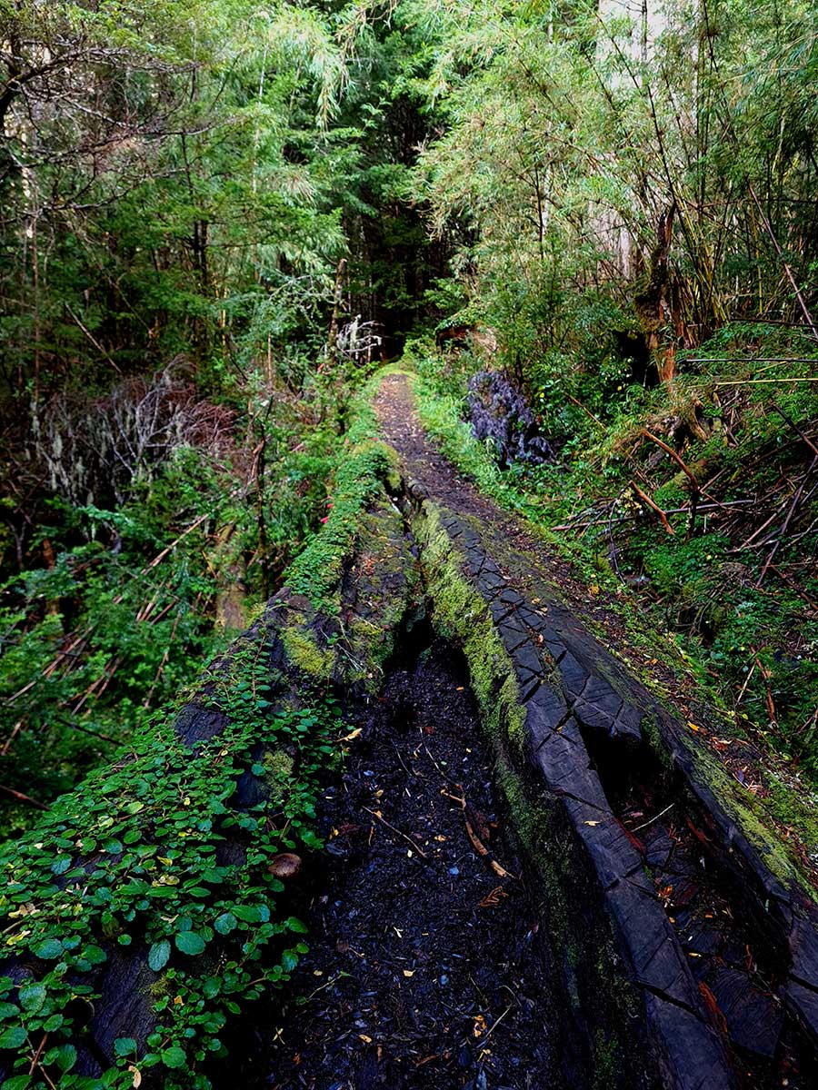
ORTIZ BASUALDO LAKE TRAIL
The trail begins next to the Hotel, it is a high difficulty trail that covers 18km roundtrip. It goes along the Nahuel Huapi Lake beach until it cross a bridge over the Arroyo Blest and joins with Los Cantaros Trail.
After taking this stairway to the left, you have to go up to the end, where you will find the Cántaros Lake viewpoint. Here starts Ortiz Basualdo trail, next to “Millennial Larch”.
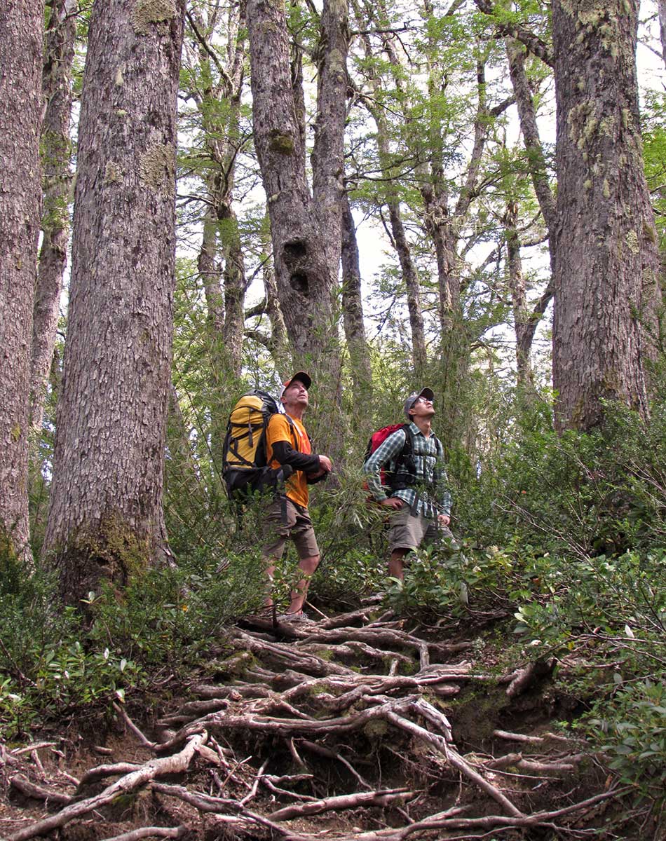
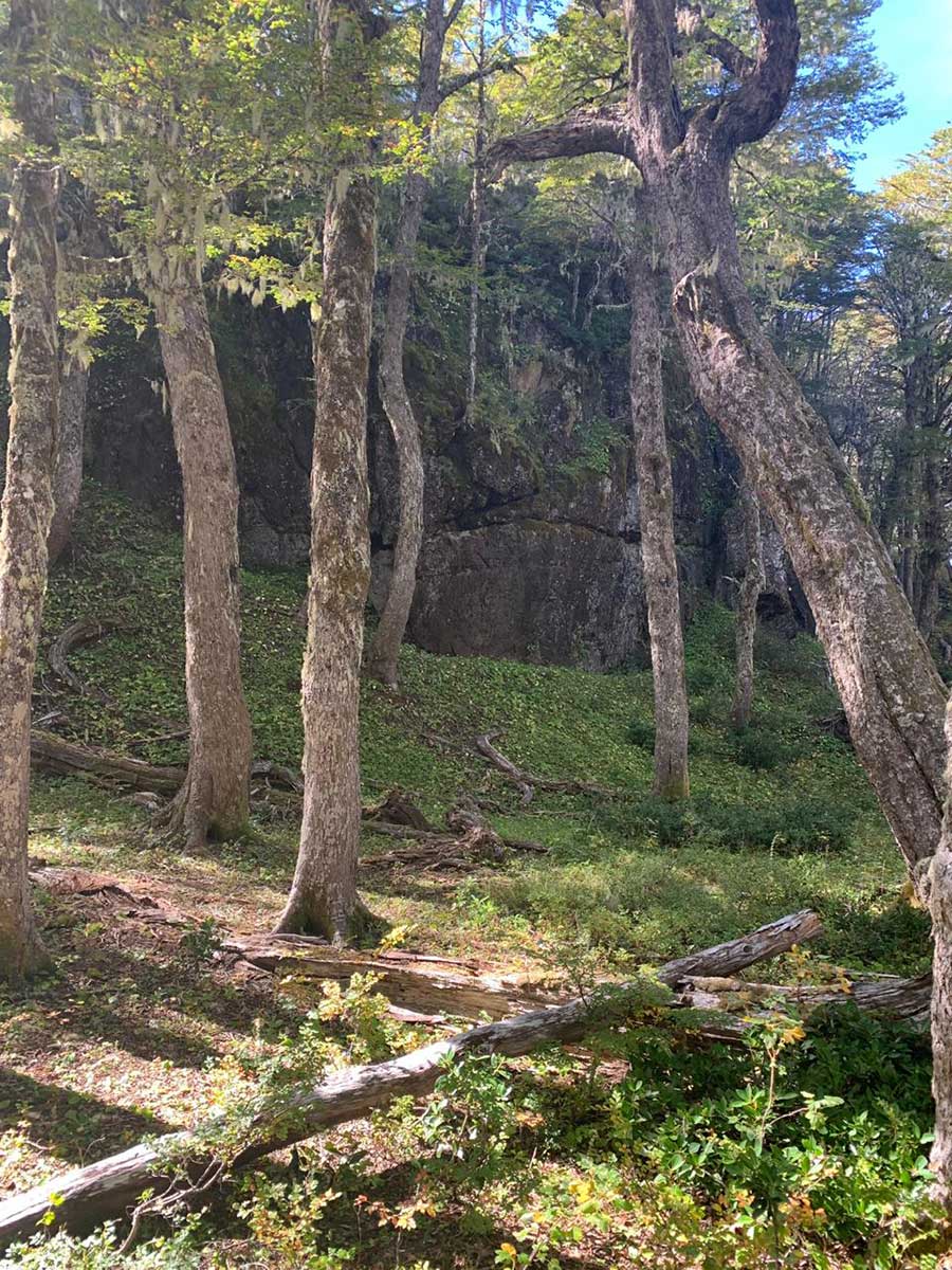
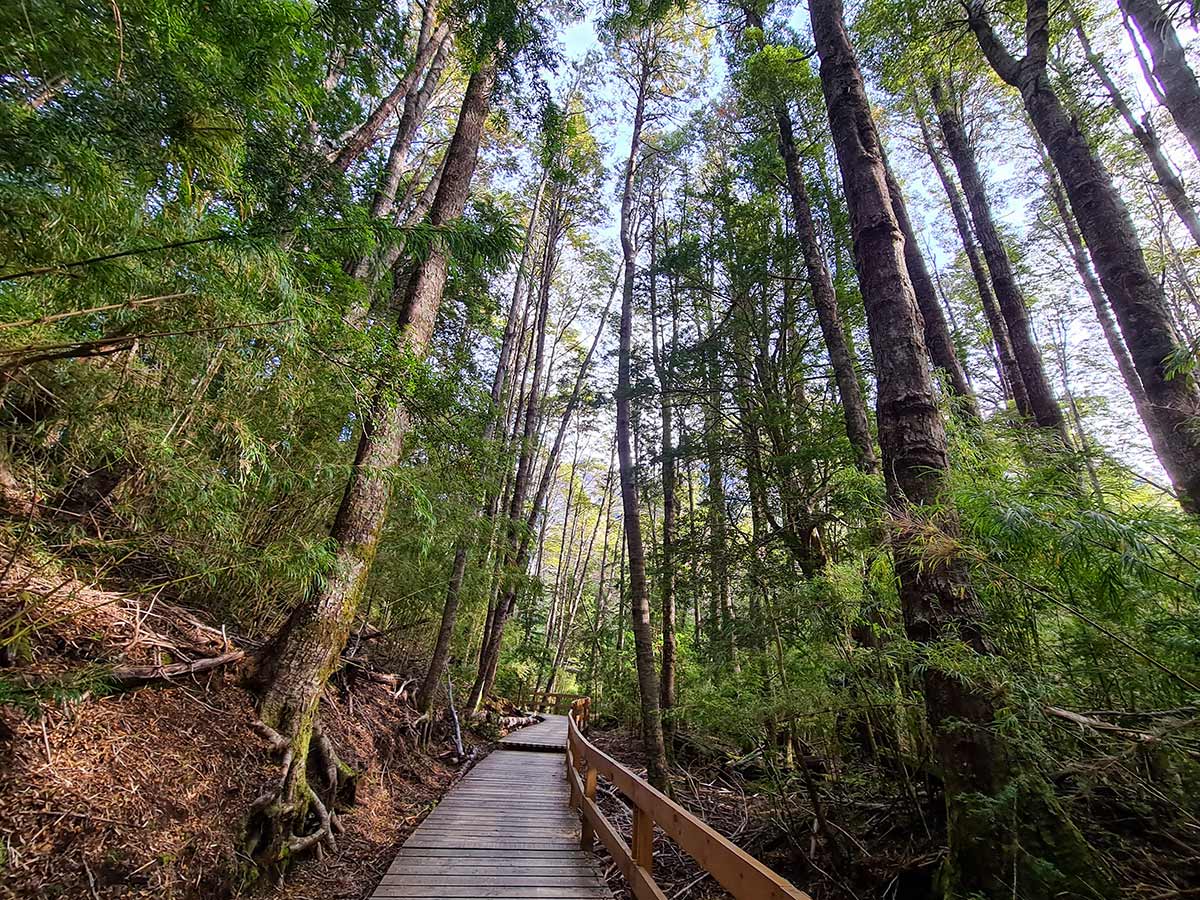
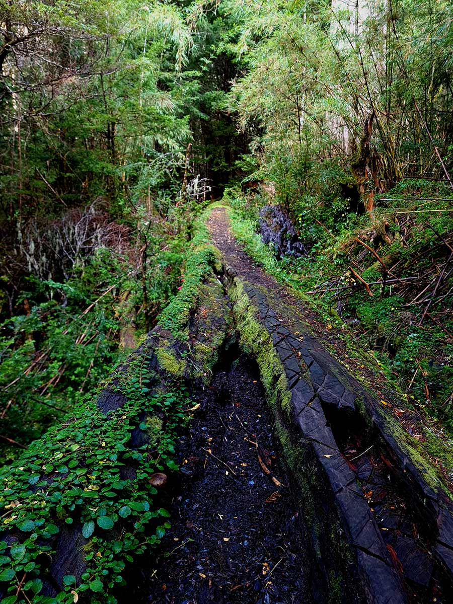
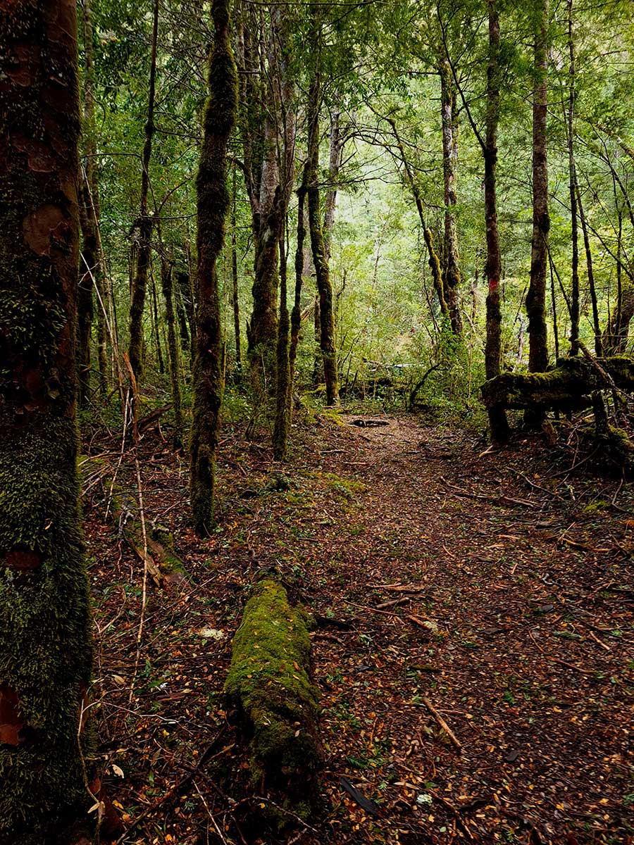
The trail is well signposted, and it crosses an area of the Valdivian Rainforest, with a lot of vegetation, mosses and lichens, and some large larches. It is a very humid environment due to the rains and the thaw, with many lagoons and Mallines in which bridges and walkways abound over the streams.
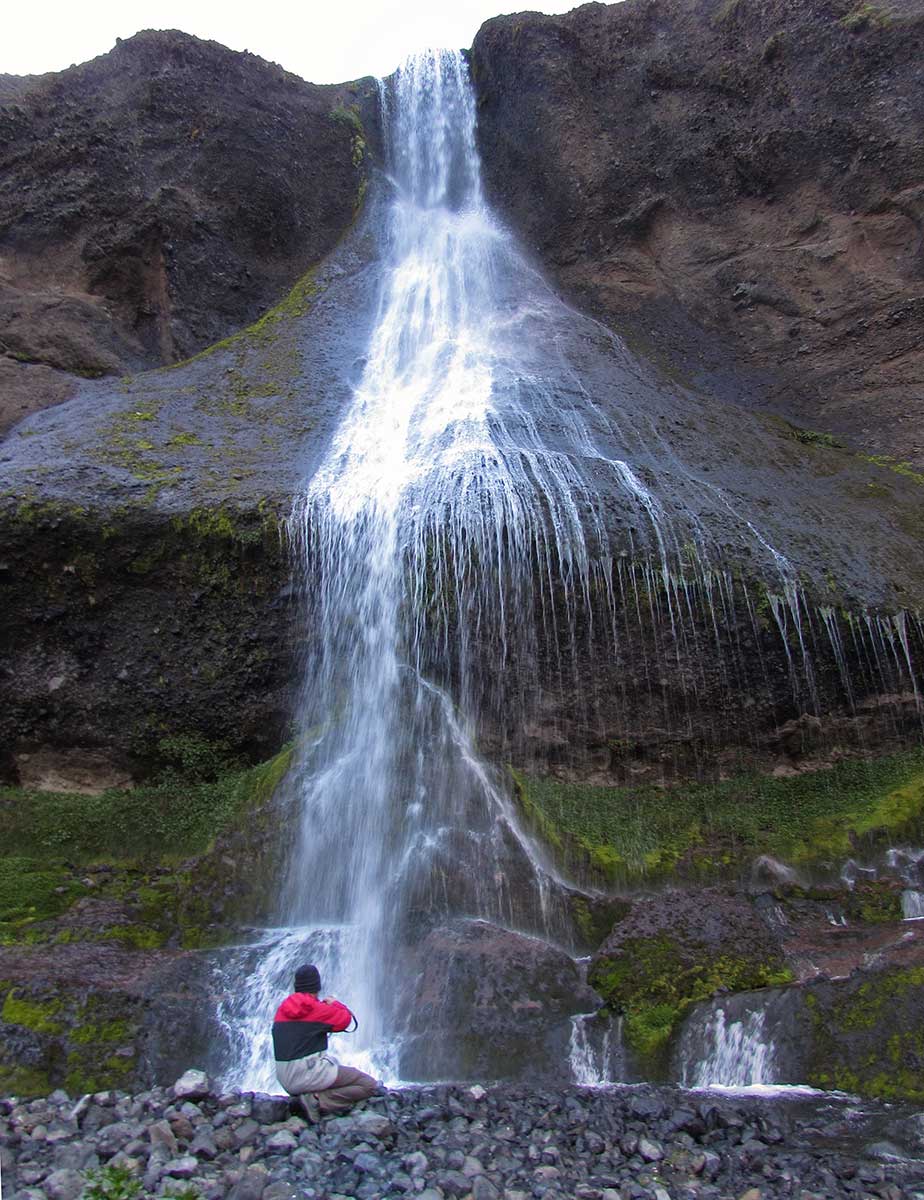
About 4 kilometers into the way, you pass through “La Heladera”, a stone wall that falls almost vertically, where ice and snow from permanent avalanches accumulate. Further on you will see the Arroyo Cántaros Waterfalls, and at the end, after passing a sector of pure larch forest and walking almost 9 kilometers, you will reach Ortiz Basualdo Lake, having the possibility of visiting: Los PalosBeach and Arena NegraBeach, both on the same lake. The return is by the same trail.

Difficulty High
November – April
Very High (May – October)
Distance
18 km.
(round trip)
(round trip)
Unevenness
360 m.
March Time
7 – 8 hours.
(round trip)
(round trip)
How to Get
The Weather
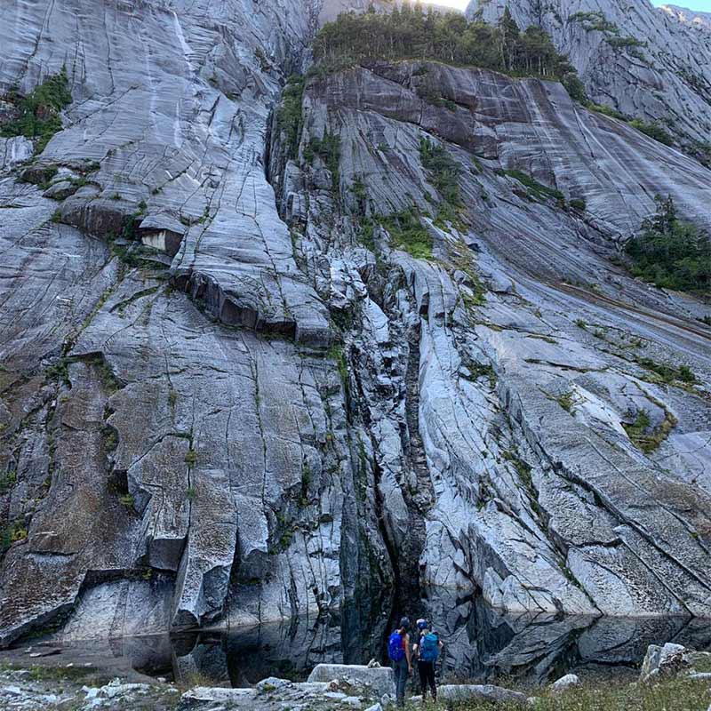
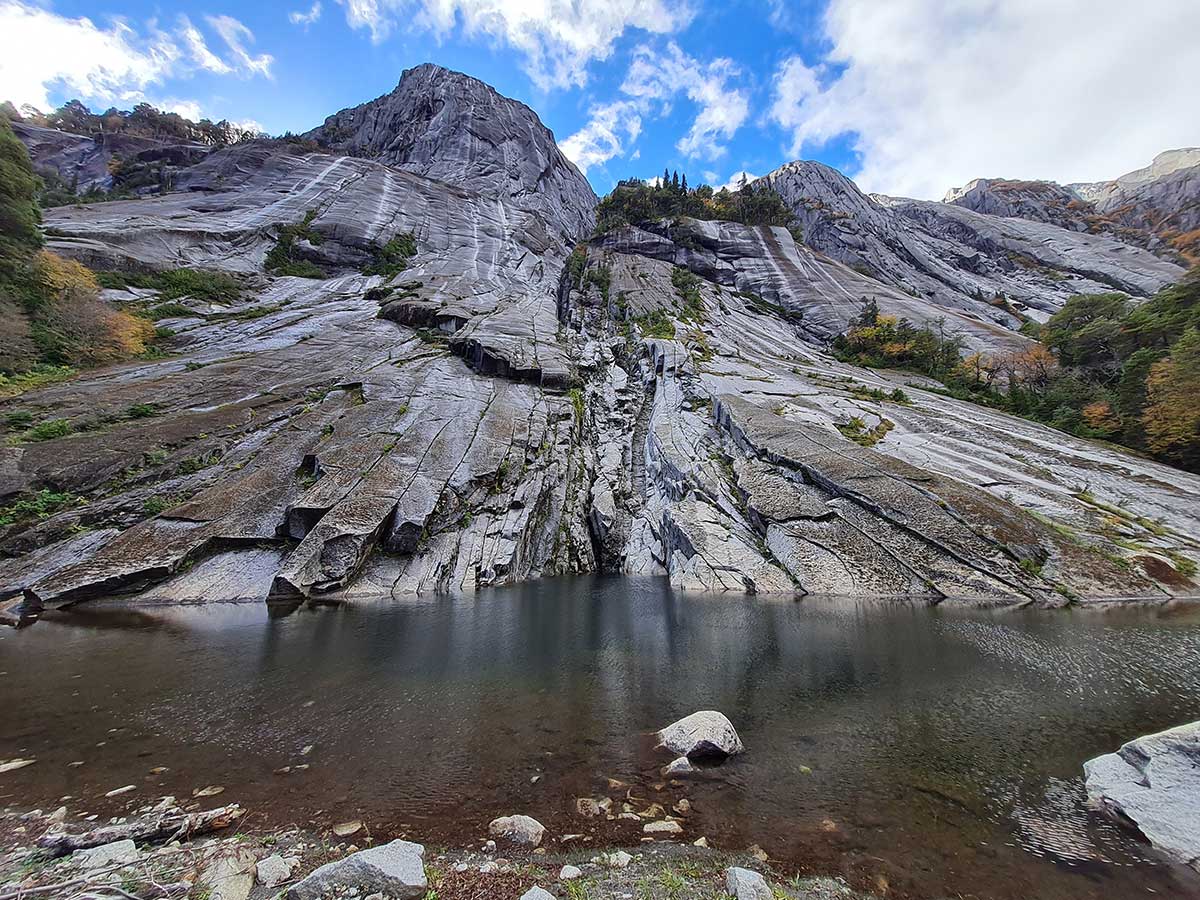
LA HELADERA
Its one of the most beautiful trails to do during your stay at the hotel. It is part of the Ortiz Basualdo trail and shares the first part of the route with the footbridges that we climb to visit Cántaros Waterfall, it is located about 4km away from the hotel.
These are the walls of Los Cántaros Mountainthat fall vertically and in which snow and ice accumulate. On the way, you go through the Valdivian Rainforest and there are larch trees.
PASO DE LAS NUBES or CLOUDS PASS
It is one of the most traditional and attractive routes in the Nahuel Huapi National Park, which runs through imposing and diverse views of glaciers, rivers and lakes. It connect Pampa Linda, at the base of the Tronador volcano, with Puerto Frías. It is usually walked in two days. Departing from Pampa Linda, the first day you spend the night at the Agostino Rocca Refuge (a model mountain refuge with modern energy and sanitation systems), continuing the next day to Puerto Frías. In Puerto Frías you will take the catamaran that connects Puerto Frías with Puerto Alegre, sailing Frías Lake, and then travel 3 km by bus that separates Puerto Alegre from the hotel.
In the Nahuel Huapi National Park, due to fire control policies, it is only allowed to camp in Pampa Linda or in the Agostino Rocca Refuge. Camping are not allowed along the way, in Puerto Frías, or in Puerto Blest.
Pampa Linda – Refugio Agostino Rocca
Medium Difficulty
November – April
High (May – October)
High (May – October)
Distance
14 km.
Unevenness
600 m.
March Time
5 – 6 hours.
(estimated in summer)
(estimated in summer)
How to get
The Weather
Refugio Agostino Rocca – Lago Frías
Medium Difficulty
November – April
High (May – October)
High (May – October)
Distance
12 km.
Unevenness
680 m.
March Time
5 – 6 hours. to Lake Frías.
(estimated in summer)
(estimated in summer)
How to get
The Weather
RAULIES TRAIL
It has 13 kilometers between Puerto Frías and Puerto Blest. It ascends to 1,340 meters of altitude. It includes the visit to the historical landmark VIII 13, and has beautiful views of the Tronador, the Pangue, Los Clavos and Vadeo lagoons; a beautiful valley to the west, Frías Lake, Los Clavos stream and a millenary larch forest. In the highest part of the trail, where the forest is open, it is important to stay constantly on the way, looking for the references on the marked trees.
Difficulty High
November – April
Very High (May – October)
Distance
13 km.
(Pto. Frias – Pto. Blest)
(Pto. Frias – Pto. Blest)
Unevenness
565 m.
March Time
5 – 6 hs.
How to get
The Weather
ORTIZ BASUALDO LAKE TRAIL
The trail begins next to the Hotel, it is a high difficulty trail that covers 18km roundtrip. It goes along the Nahuel Huapi Lake beach until it cross a bridge over the Arroyo Blest and joins with Los Cantaros Trail.
After taking this stairway to the left, you have to go up to the end, where you will find the Cántaros Lake viewpoint. Here starts Ortiz Basualdo trail, next to “Millennial Larch”.
The trail is well signposted, and it crosses an area of the Valdivian Rainforest, with a lot of vegetation, mosses and lichens, and some large larches. It is a very humid environment due to the rains and the thaw, with many lagoons and Mallines in which bridges and walkways abound over the streams.
About 4 kilometers into the way, you pass through “La Heladera”, a stone wall that falls almost vertically, where ice and snow from permanent avalanches accumulate. Further on you will see the Arroyo Cántaros Waterfalls, and at the end, after passing a sector of pure larch forest and walking almost 9 kilometers, you will reach Ortiz Basualdo Lake, having the possibility of visiting: Los PalosBeach and Arena NegraBeach, both on the same lake. The return is by the same trail.
Difficulty High
November – April
Very High (May – October)
Distance
18 km.
(round trip)
(round trip)
Unevenness
360 m.
March Time
7 – 8 hours.
(round trip)
(round trip)
How to get
The Weather
LA HELADERA
Its one of the most beautiful trails to do during your stay at the hotel. It is part of the Ortiz Basualdo trail and shares the first part of the route with the footbridges that we climb to visit Cántaros Waterfall, it is located about 4km away from the hotel.
These are the walls of Los Cántaros Mountainthat fall vertically and in which snow and ice accumulate. On the way, you go through the Valdivian Rainforest and there are larch trees.
If you plan to do a mountain trail, it is very important that you complete the National Park trekking record for safety. You can access it through the link: http://www.nahuelhuapi.gov.ar/registro_trekking/registro.php
For more information about these and other trails to do in Bariloche, we invite you to enter the Bariloche Trekking website

The maps of the routes and the information for the references of times and difficulty of the mountain trails were courtesy of

If you plan to do a mountain trail, it is very important that you complete the National Park trekking record for safety. You can access it through the link
For more information about these and other trails to do in Bariloche, we invite you to enter the Bariloche Trekking website
The maps of the routes and the information for the references of times and difficulty of the mountain trails were courtesy of